

Parque Ecológico Macuiltépetl is a protected natural area on a volcanic hill in Xalapa, Veracruz. Its trails, wooded setting and summit viewpoint make it a place to walk or run while staying within the city.
- Location: the hill of Macuiltépetl in Xalapa, Veracruz
- Area: 31 hectares
- Park entry: free, according to a Veracruz state tourism map
The park is about a 26-minute walk or 8-minute drive from Hotel Palacio.
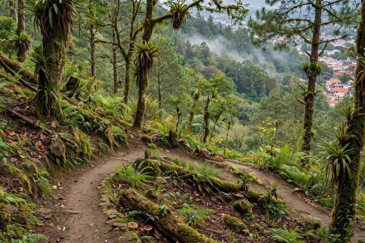
What to expect at Parque Ecológico Macuiltépetl
Macuiltépetl is a 31-hectare protected area set on a volcanic hill within Xalapa. The park’s name comes from Nahuatl: macuil means “five” and tépetl means “hill,” giving the translation “the fifth hill.”
The hill’s ecological restoration began in 1922, and the park was established in 1978. That history sits alongside its role as a green space and wildlife refuge. CONAFOR reports reptiles, birds and 200 species of daytime butterflies in the park.
The Secretaría de Turismo de Veracruz gives the park’s location as 19°32′54″N, 96°55′15″W. Its altitude ranges from 1,500 metres above sea level at the base to 1,600 metres at the pyramid-mausoleum.
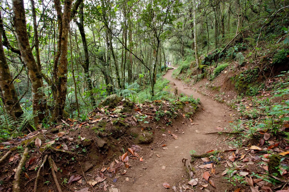
Trails, viewpoints and natural features
Walking and running trails cross the park, leading through its natural setting toward the summit. At the top, a sundial and a pyramid-mausoleum-viewpoint commemorate Veracruz agrarian heroes who died during post-revolutionary land redistribution.
The summit structures give a clear destination for a walk through the hill’s landscape. The park is also habitat for wildlife, including the birds, reptiles and daytime butterflies reported by CONAFOR.
For more outdoor ideas around the city, the guide to parks and gardens in Xalapa covers other places to walk.
How do you get to Parque Ecológico Macuiltépetl?
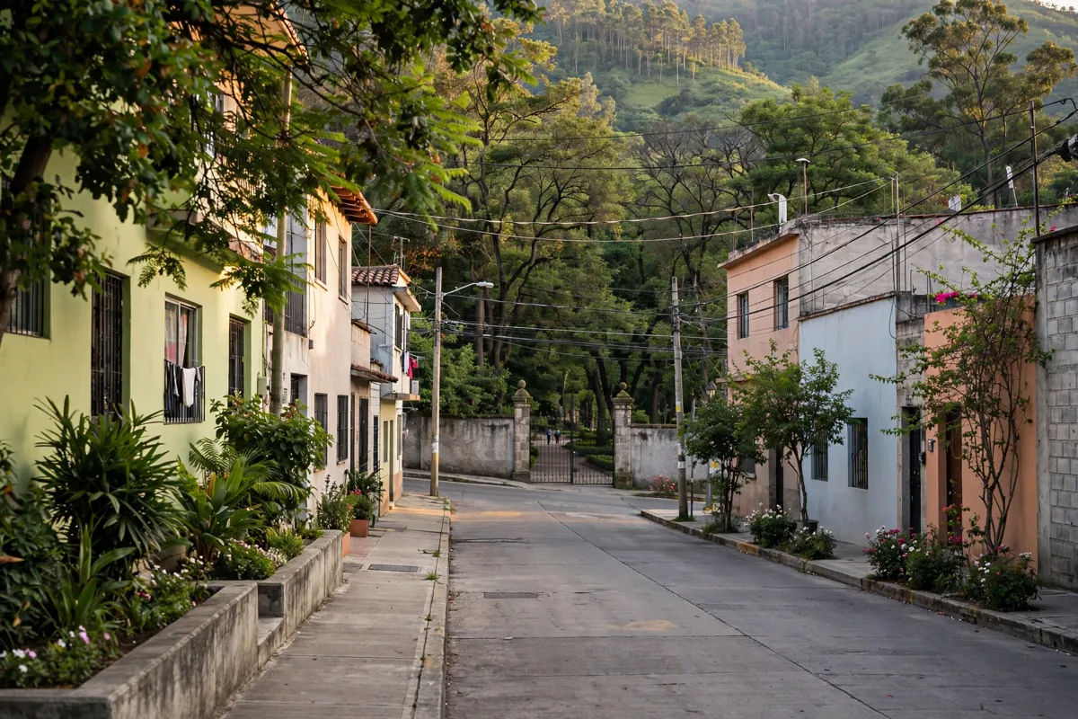
The Secretaría de Turismo de Veracruz gives the park’s location as 19°32′54″N, 96°55′15″W, which you can use to identify the hill and plan your route.
The outdoor forum is at Tepic s/n, on the corner of Aguascalientes, in Colonia Progreso Macuiltépetl. The Xalapa City Centre neighborhood guide puts the park within the wider city.
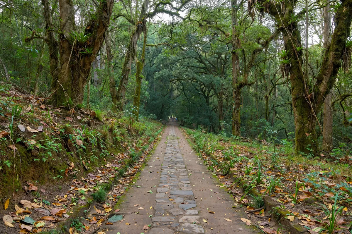
When to visit and what to know before you go
Opening information varies by source, so check the official site of the Secretaría de Turismo de Veracruz before you go. A Veracruz state tourism map gives the park’s hours as 7:00 to 18:00, while a separate report describes different hours for the viewpoint.
The tourism map says park entry is free. It also notes a recovery fee for the Fauna Museum, so don’t assume that museum access is included in the free park entry.
Access, facilities and park rules
The Secretaría de Cultura describes public restrooms and access control at the outdoor forum. The forum has two main access points, which also serve as evacuation routes, and a capacity of 150 people.
The park’s “un parque libre de residuos” program asks visitors to avoid bringing or generating waste and to respect the area. Keep that guidance in mind while using the trails and shared outdoor spaces.
FAQs
Is Parque Ecológico Macuiltépetl free to enter?
A Veracruz state tourism map gives free admission for the park. It notes a recovery fee for the Fauna Museum.
What can you do at the park?
The trails are used for walking and running. At the summit, you’ll find a sundial and a pyramid-mausoleum-viewpoint.
What wildlife lives in the park?
CONAFOR reports reptiles, birds and 200 species of daytime butterflies in the park.